 vesseltracker.com
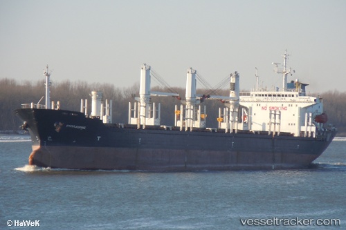
Find the position of the vessel Ocean S on the map. The latter are known coordinates and path.
marine traffic ship tracker show on live map
The current position of vessel Ocean S is 39.77476 lat / 26.04414 lng. Updated: 2025-10-26 15:12:50 UTCCurrently sailing under the flag of Liberia
Details:
Last coordinates of the vessel:
UTC, 39.77479, 26.04381, course: 183, speed: 0.6UTC, 39.77514, 26.04324, course: 188, speed: 0.2
UTC, 39.77478, 26.04417, course: 224, speed: 0.5
2025-10-26 15:12:50 UTC, 39.77476, 26.04414, course: 202, speed: 0.5
Track of the vessel in the last 14 days
The ship also appears on the maps: